We offer a comprehensive range of building measurement services. Using highly accurate 3D point cloud data as a foundation, we can produce a variety of products including Building Information Models (BIM) primarily delivered in Revit, but also available in AECOsim and ArchiCAD. We also create 3D CAD models, 2D floor plans, sections, and elevations. Additionally, point clouds and panoramic images can be provided as deliverables.
We specialize in producing as-built surveys and clash detection analyses for various industrial applications, including power stations and oil installations. Utilizing point cloud data as our foundation, we deliver customized solutions tailored to your specific needs. Whether you require 3D CAD models (DWG, DGN, etc.) or intelligent PDMS databases and models, our team will deliver to your exact requirements.
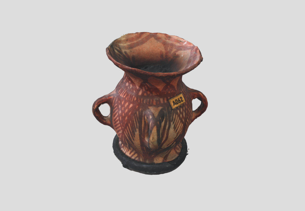
Drawing on our extensive experience, we provide highly accurate documentation for heritage sites and ancient relics. In addition to 2D and 3D CAD deliverables, we offer a variety of photographic and scan-based products. These include panoramic imagery, virtual tours, walkthroughs, and high-resolution orthoimages. Virtual Reality and Augmented Reality is our game so lets do amazing things together.
3D laser scanning and drone photogrammetry are effective methods for capturing large urban areas. The resulting point cloud data can be utilized to support your planning and design requirements. Our offerings include 2D and 3D topographical surveys, 3D modeling for Rights of Light analysis, and 2D or 3D models for creating contextual elevations.
We provide as-built surveys for offshore installations, including oil rigs and vessels. We will go to the vessel (ship / boat) and do the scan as it is coming to shore without the need for it to doc for days. We understand the value of time. Let our team come to you and do the scans for optimal results and fast repair if needed.
Our reverse engineering services offer highly accurate geometric analyses, even down to sub-millimeter precision, for small elements and objects. We produce precise 3D CAD models and detailed 2D technical documentation.
LionHeart Middle East offers two functions from two different departments:
1 - One stop service provider for all your 3D needs.
2 - Providing consulting, and coaching for Global companies wanting to expand their business to the Middle East.
For 3D Services:
You can come to us for any of the following and we will make sure you get results fast:
1) You have small objects you want to visualize in a 3D environment with high accuracy, you come to us.
2) You have a heritage or archeological site you want to document in 3D, you come to us.
3) There is an old building that does not have drawings and you want to document it in 3D to create BIM from it, you come to us.
4) You want to visualize an entire new site online for planning, you come to us.
5) You want to create easy as-built reports, you come to us.
6) You want to do comparison analysis or deformation analysis on structures, you come to us.
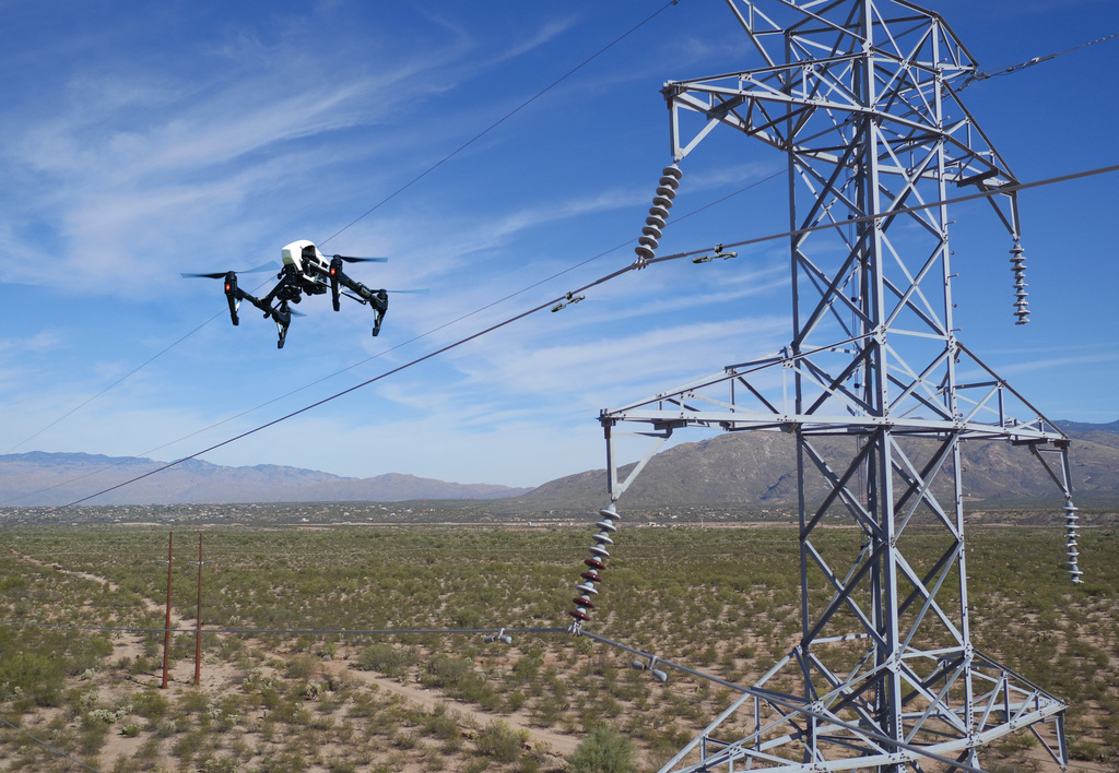
7) You want to do site inspections for towers, you come to us.
For Freelance Consulting Services you can come to us for:
1) Help in identifying the right channel partners
2) Managing the distribution channel and growing sales


We have scanned coins, statutes, vases, heritage objects and even dresses to present them in a 3D environment.

The best way to visualize a site is to see it in 3D, with laser scanners and drones we can show you the entire site in 3D.

With a team of 32 engineers all certified to convert 3D point cloud to BIM in the AEC sector and Industrial refineries.

Over time structures move, we at LionHeart have the expertise to do point cloud comparison to compare structures over time. We can show graphically and numerically the movement and discrepancy variation.

In construction no one gets paid until As-built drawings are provided. Why send a consultant to create the report when we can scan the site and compare the scan verses the Revit model directly for an immediate report.

LionHeart provides safe and reliable drone inspection services for utility assets including transmission and distribution power lines, substations, and generation facilities.